Centre For Local Research into Public Space (CELOS)


 Show search options


 You are on the [Dufferin Old Time Pictures And Maps] page of folder [Neighbourhood History]
 For the cover page of this folder go to the
 Dufferin Old Time Pictures And Maps
To see larger version of the picture, click on it. Then click on the enlarged version to get the full size version.

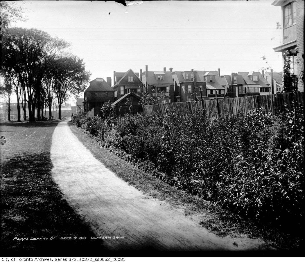
One of the park's perennial borders, in 1913.


Dufferin Park Maps
To see larger version of the map, click on it. Then click on the enlarged version to get the full size version.

1913

1923

1970
It's possible that this map dates from the time when Gladstone Avenue ran through the park. Around that time there were big struggles around the apartment buildings on Rusholme -- the city had a plan to demolish more houses and to drive Dufferin Park Ave straight through from Dufferin Street to Hepbourne Street. But it was too late -- by then there was a growing opposition movement to high-rise developments and fast roads cutting through neighbourhoods (e.g. the Stop Spadina movement, the Quebec-Gothic Avenue movement). And pretty soon (when??) the road through the park was grassed over again too.